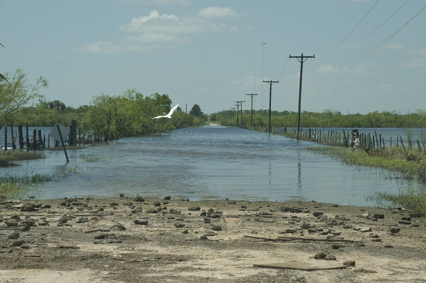
The National Weather Service’s Weather Prediction Center kept a moderate risk of excessive rainfall, Level 3 of 4, over parts of the southern Plains in its outlook issued at 3:59 p.m. EDT Thursday, after trimming the northwestern edge of the area in southeast Oklahoma and far northeast Texas. The center said models showed 3 to 6 inches of rain from the Austin and San Antonio area to South Texas, with local totals above 10 inches possible. “Life threatening and high end flash flooding impacts are possible where the higher end rainfall totals occur,” the outlook said.
A wider slight-risk area stretched from Texas to Wisconsin and northeast Indiana. The center said moisture levels over the Midwest and mid-Mississippi Valley were three to four standard deviations above normal, with an air mass that coincided with the remnants of Tropical Cyclone Polo. Yale Climate Connections (opens in new tab) reported that moisture from former Hurricane Polo, Pacific moisture from Hurricane Rachel and humid Gulf air were meeting a slow-moving front, producing storms that repeatedly passed over the same areas.
In a 3:45 p.m. EDT discussion, the center said slow-moving, training storms over Kansas were pivoting into Oklahoma and spreading over northern Missouri, with an additional 2 to 5 inches possible from southern Kansas into Oklahoma and 1 to 3 inches over northeast Kansas and northern Missouri. A 5:58 p.m. EDT discussion said flash flooding was possible in Illinois, with 1 to 3 inches from the St. Louis area to north-central Indiana and Chicago’s southern suburbs. At 6:33 p.m. EDT, the center said repeating storms in South Texas could bring 4 to 8 inches to some spots through 04Z, or 11 p.m. CDT. At 8:02 p.m. EDT, it said heavy storms over East Texas could cause localized flash flooding, including in western parts of the Houston metro area, with an additional 3 to 5 inches possible before the storms diminish around 06Z, or 1 a.m. CDT.
As of 7 p.m. CDT Thursday, weather service offices had flash flood warnings in effect for Lyon, Osage and Wabaunsee counties in Kansas until 9:45 p.m. CDT, McPherson and Marion counties in Kansas until 8 p.m. CDT, and Duval, Jim Wells, Live Oak and McMullen counties in South Texas until 9:30 p.m. CDT. Flood watches covered areas including Dallas and Tarrant counties until 7 a.m. CDT Friday, Travis and Bexar counties until 7 p.m. CDT Friday, the Wichita area until midnight and Cook County, Illinois, until 10 p.m. CDT. A watch issued at 6:55 p.m. CDT covers the Houston area until 7 p.m. CDT Friday, and other watches cover parts of Missouri, Iowa, Wisconsin and southeast Oklahoma.
In Nebraska, Lincoln recorded 6.15 inches of rain Wednesday, a record for the date that broke the old mark of 3.3 inches set in 2014, the weather service office in Omaha said; Lincoln’s records began in 1887. Omaha recorded 4.74 inches, also a daily record, according to the office’s climate report. Yale Climate Connections (opens in new tab) reported that Lincoln’s total made it the city’s wettest calendar day in 139 years of records. Des Moines, Iowa, ended September with 14.50 inches of precipitation, the weather service said, just short of the 14.81-inch record set in 1914, according to Yale Climate Connections (opens in new tab).
The center’s outlook for Friday kept a slight risk of excessive rain over southern and central Texas, expanded to include the Dallas–Fort Worth area, with an additional 1 to 3 inches expected.
Update, Oct. 1: In a corrected outlook discussion issued at 9:01 p.m. EDT Thursday, the Weather Prediction Center kept a moderate risk of excessive rainfall across portions of the southern Plains for the overnight period through 8 a.m. EDT Friday. The center said the greatest rainfall rates were largely confined to southern and central Texas as of early evening, with the latest models keeping intense rates there into the night as onshore flow off the Gulf enhanced moisture flux convergence. Because the line of storms had moved a bit faster than models showed, the center expanded the eastern edge of the risk area somewhat. The center said the threat of excessive rainfall also extended northward into portions of the Plains, the southern Great Lakes and the far western Ohio Valley. As of about 8:20 p.m. CDT Thursday, the flash flood warning for McPherson and Marion counties in Kansas had expired at its 8 p.m. CDT end time and had not been replaced by a new flash flood warning; a flood watch covering those counties and much of south-central Kansas remained in effect until midnight CDT. Flash flood warnings were still in effect for Lyon, Osage and Wabaunsee counties in Kansas until 9:45 p.m. CDT and for Duval, Jim Wells, Live Oak and McMullen counties in South Texas until 9:30 p.m. CDT. A new flash flood warning issued at 7:37 p.m. CDT covered parts of Grimes, Montgomery and Waller counties in southeast Texas until 10:30 p.m. CDT; the weather service said 4 to 6 inches of rain had fallen there, with 2 to 3 more inches possible. Flood watches also remained for areas including Dallas and Tarrant counties until 7 a.m. CDT Friday, Travis and Bexar counties until 7 p.m. CDT Friday, the Houston area until 7 p.m. CDT Friday, and Cook County, Illinois, until 10 p.m. CDT. The center’s most recent mesoscale precipitation discussion, issued at 8:02 p.m. EDT, covered East Texas.