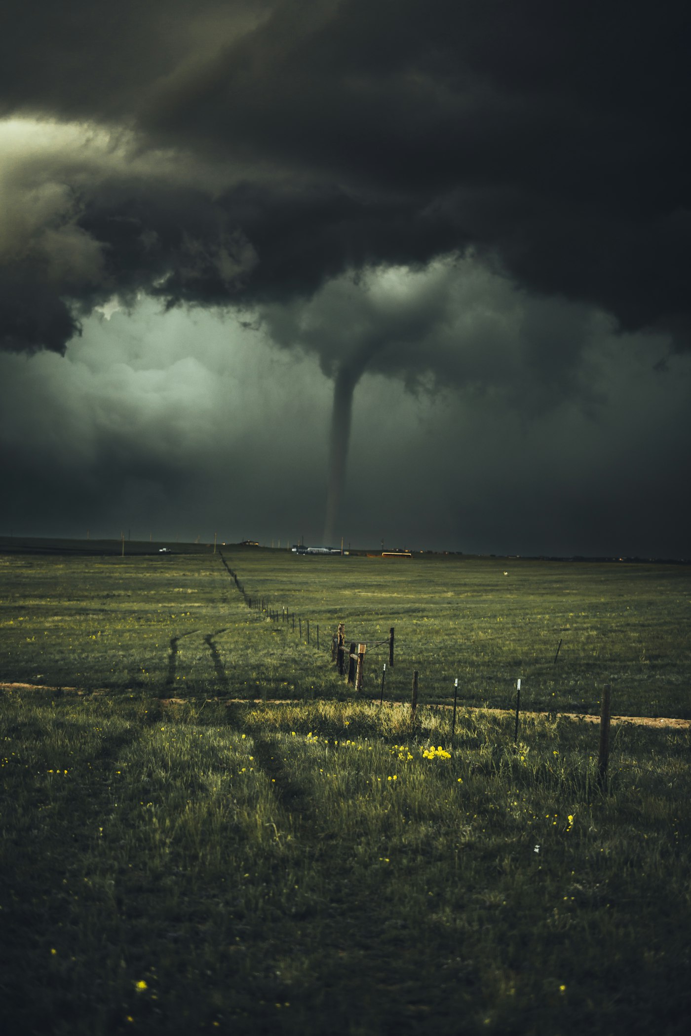
Hurricane Polo was downgraded to Category 4 on Wednesday morning after peaking as a Category 5 storm earlier in the week, but the U.S. National Hurricane Center still described it as “very powerful” off Mexico’s Pacific coast, the BBC and CNN (opens in new tab) reported on Sept. 23.
A NOAA Hurricane Hunter aircraft recorded sustained winds near 180 mph (285 km/h) on Tuesday, the BBC said. CNN (opens in new tab) reported Polo’s winds topped out at 180 mph Tuesday afternoon and that the storm underwent extreme rapid intensification—about a 110-mph jump in sustained winds from Monday to Tuesday morning—among the fastest such increases on record in the Eastern Pacific.
As of Wednesday morning, CNN (opens in new tab) said Polo was about 200 miles offshore of Guerrero as a Category 4 and was not expected to make landfall. Mexican President Claudia Sheinbaum said Tuesday available information indicated Polo would not make a direct landfall but urged vigilance in Jalisco, Colima, and Michoacán, the BBC reported. Tropical storm warnings and watches remained for portions of southwest Mexico.
Heavy rain is the primary near-term hazard. The NHC warned of possible life-threatening flooding and mudslides, especially in steep terrain, with coastal rainfall totals of roughly 3 to 6 inches and locally up to 8 inches through Thursday in parts of Guerrero and Michoacán, CNN (opens in new tab) said; the BBC cited forecasts of up to 6 inches with 8 inches possible in some areas, plus dangerous surf and swells.
Both outlets link Polo’s intensity to extremely warm Pacific waters associated with a strong El Niño. CNN (opens in new tab) framed Polo within a hyperactive Pacific season of 18 named storms so far, including three Category 5 hurricanes. Separate Hawaii-bound Tropical Depression 15-E / forecast Storm Nolo coverage is drafted under a distinct slug.