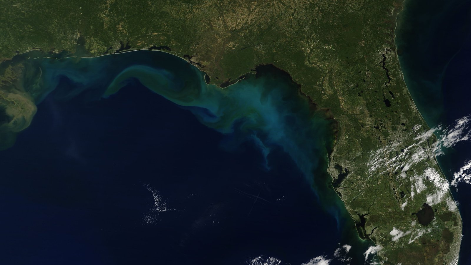
A broad area of low pressure over the southwestern Gulf, which the National Hurricane Center (opens in new tab) calls Invest 92L, is getting better organized. In its 2 p.m. EDT Tuesday outlook, the center said “showers and thunderstorms are becoming better organized while surface pressures are gradually falling,” and that “advisories will likely be issued on this system later today or tonight” if the trends continue. It put the chance of formation at near 100% over both two and seven days, up from 90% in its 8 a.m. EDT outlook. WDSU (opens in new tab) reported that the figure was 80% overnight.
The system is expected to move slowly east at first, possibly bringing gusty winds and heavy rain to the western Yucatán Peninsula in a couple of days. The center expects it to turn north or northeast toward the northern Gulf Coast by the end of the week. “It is still too early to determine specific impacts to the northern Gulf Coast, but interests from the Florida Panhandle to Louisiana should closely monitor the progress of this system,” it said. A NOAA Gulfstream jet was en route Tuesday afternoon to sample the surrounding atmosphere, and Air Force and NOAA reconnaissance aircraft are scheduled to investigate the system Wednesday.
Forecasters outside the hurricane center disagree on how strong it could get. AccuWeather’s Alex DaSilva, quoted by Florida Today (opens in new tab), said increasing wind shear could limit strengthening and gave about a 15% chance of a hurricane. Houston-based meteorologist Matt Lanza of The Eyewall, also quoted by Florida Today (opens in new tab), put the odds a little higher, at “a 30 percent chance of a hurricane,” and warned that as of Monday the models “diverge wildly.” FOX Weather (opens in new tab) said Wednesday would be a crucial day as the system begins to interact with El Niño-driven winds and dry air.
Heavy rain is possible even if the system does not strengthen. The Weather Prediction Center has a Level 2 of 4 flash flood risk for parts of the Southeast on Friday and Saturday, FOX Weather (opens in new tab) reported. WDSU (opens in new tab) has named Friday and Saturday weather impact days for the New Orleans area. Florida had flooding rain from a stalled front over the weekend, according to Florida Today (opens in new tab).
The next name on the Atlantic list is Isaias. No hurricane has formed in the Atlantic so far this season. FOX Weather (opens in new tab) said that makes it the quietest start since the satellite era began in 1966, and that Gulf water temperatures are at their warmest on record going back to 1982.